CASA-certified · Aerial data · AI
See your site in every band.
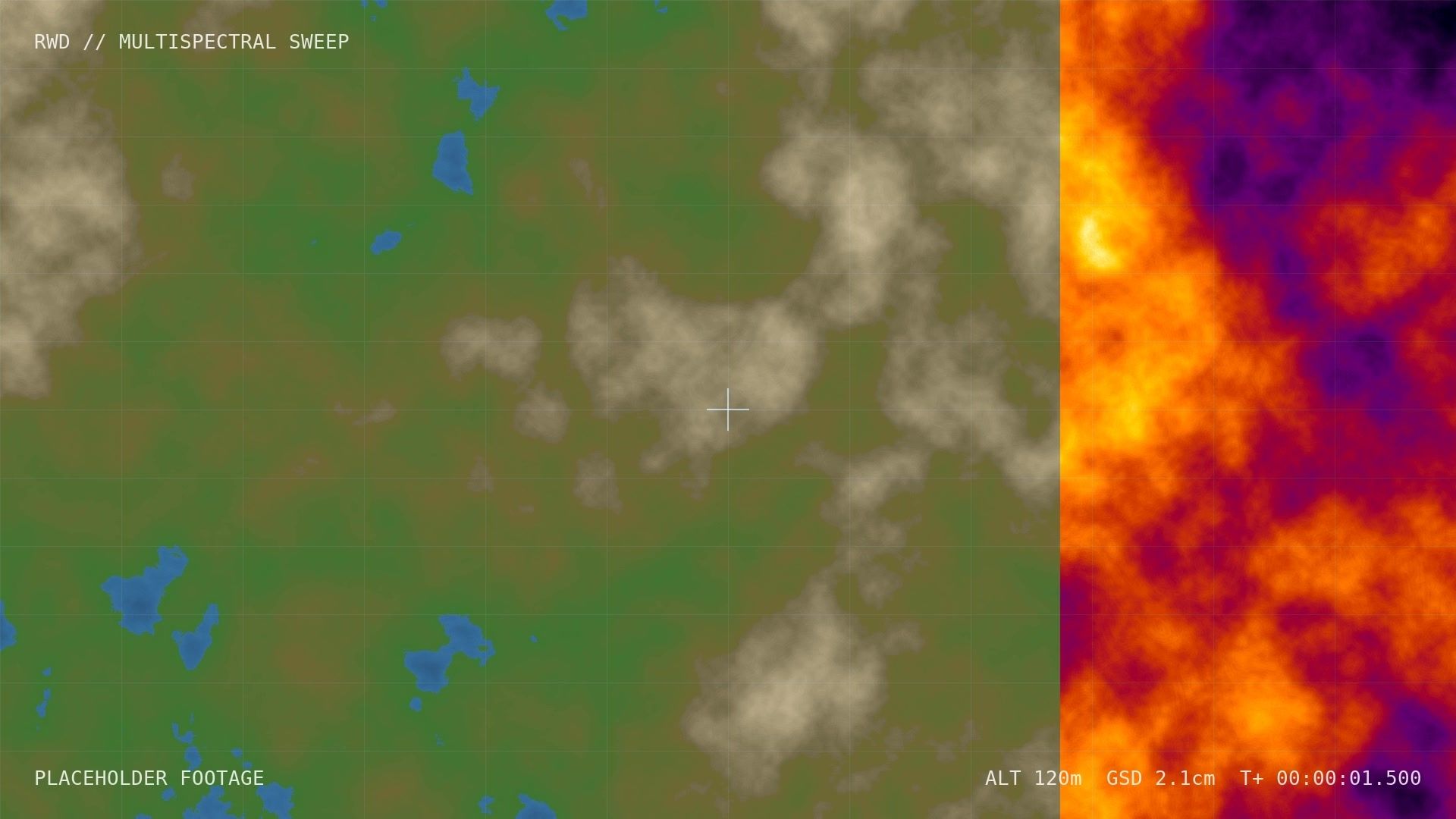
Thermal, multispectral and survey-grade drone data across Australia, processed by AI into maps, models and answers you can act on.
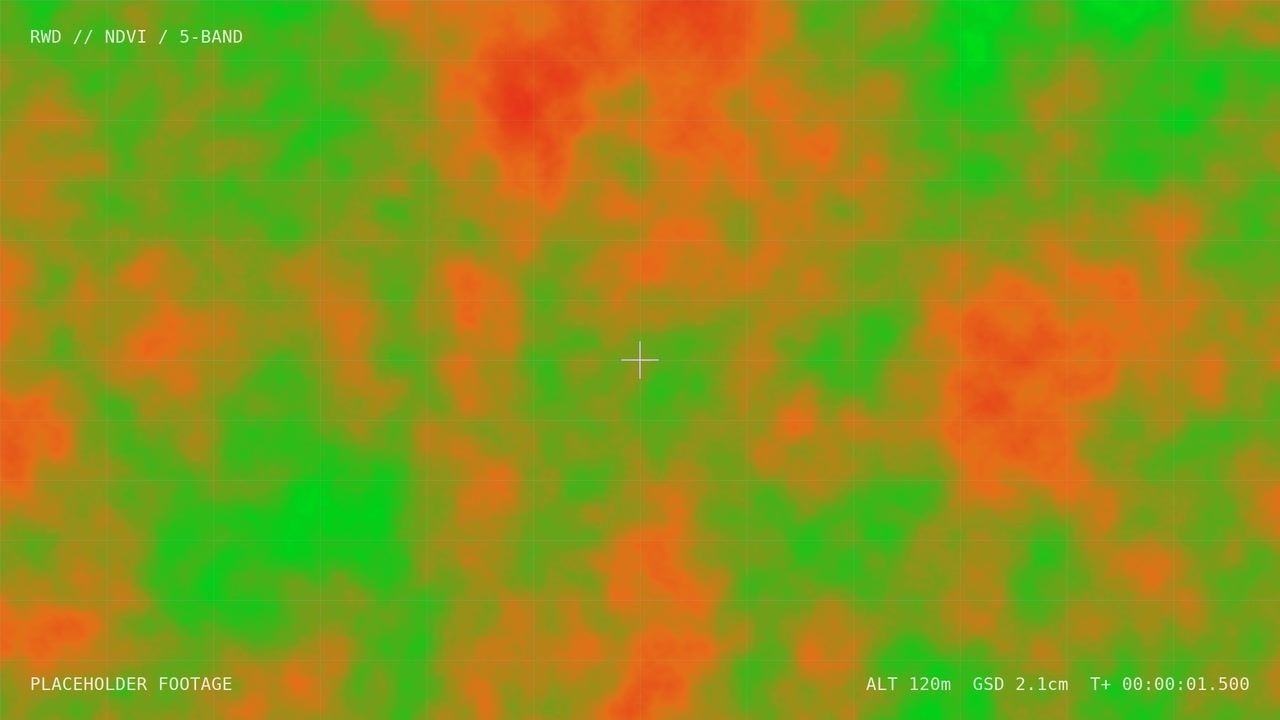
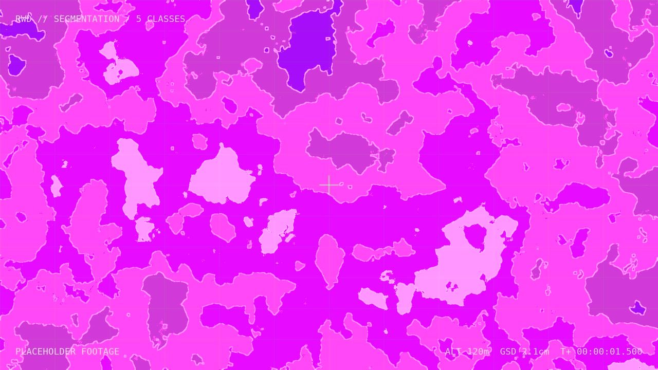
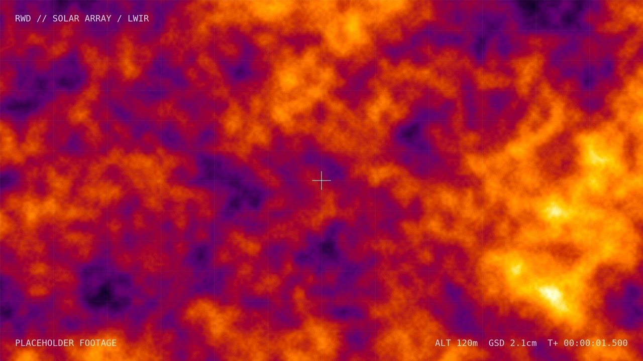
How we work
From flight to finding
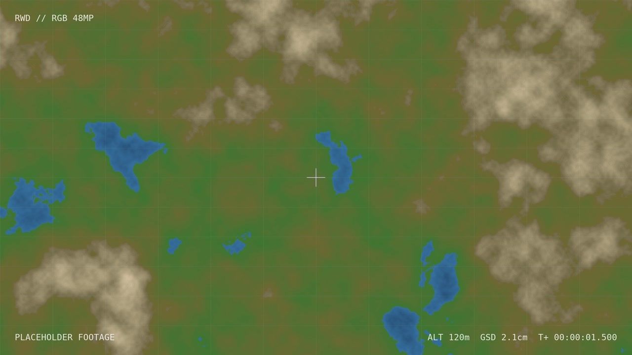
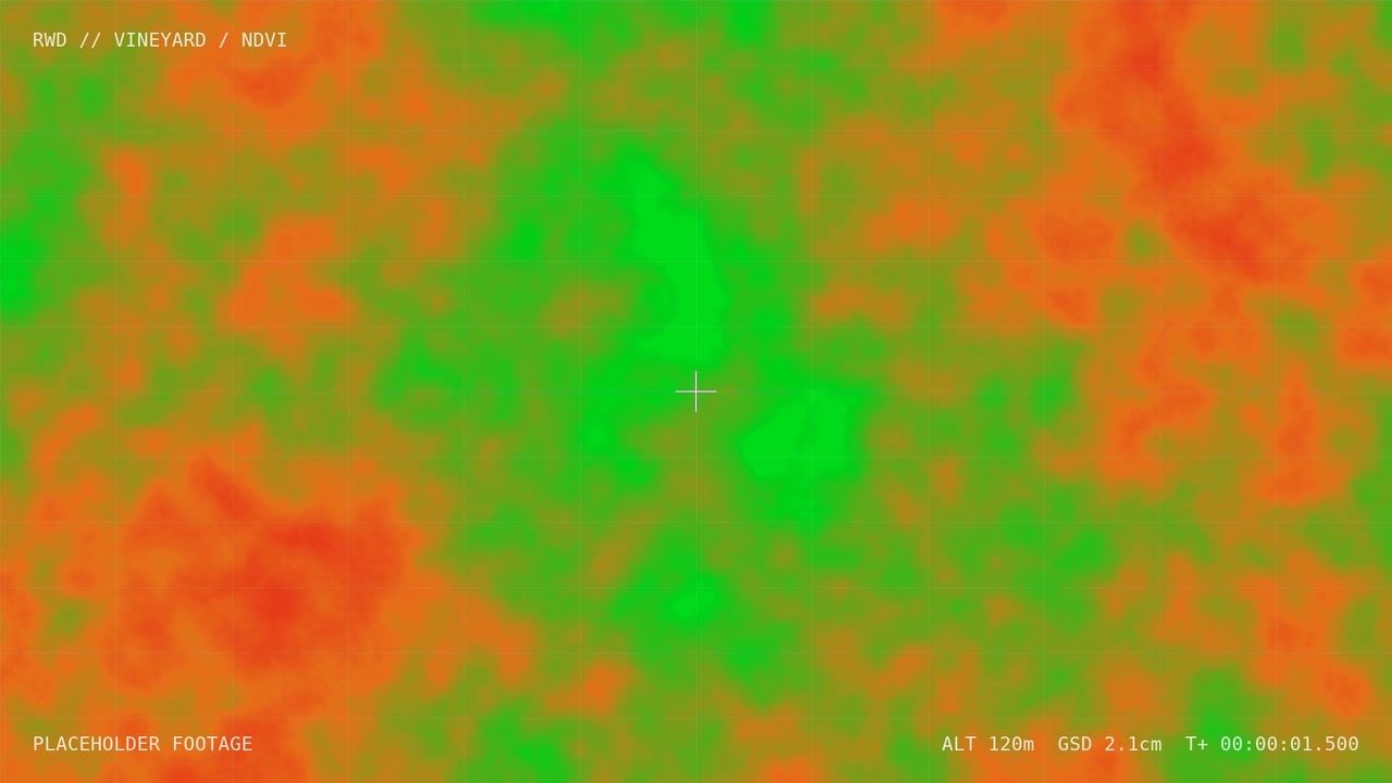
We plan every mission around the decision it needs to support, then pick the sensor, altitude and overlap to match. Acquisition is flown under our CASA Remote Operator Certificate, including BVLOS-capable operations for large and remote sites.
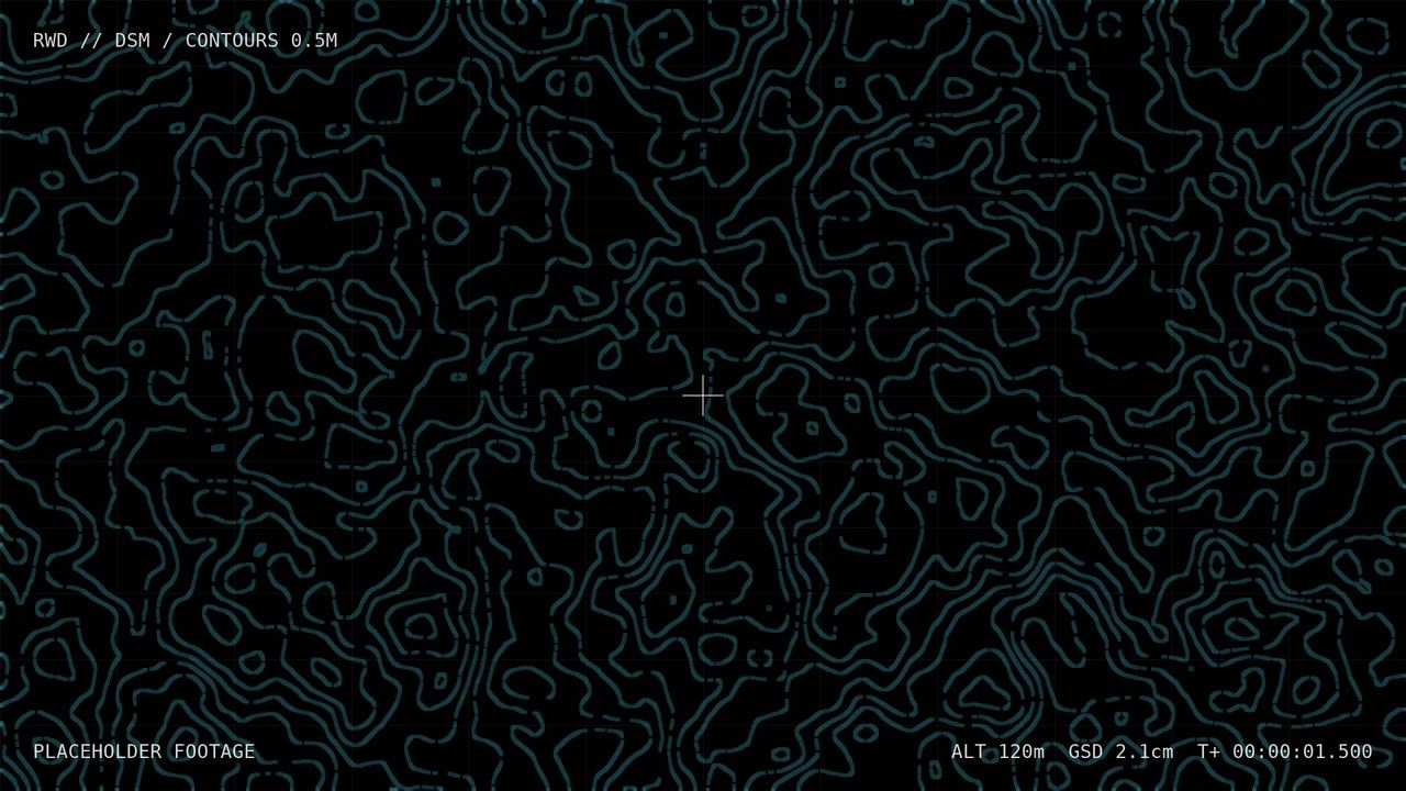
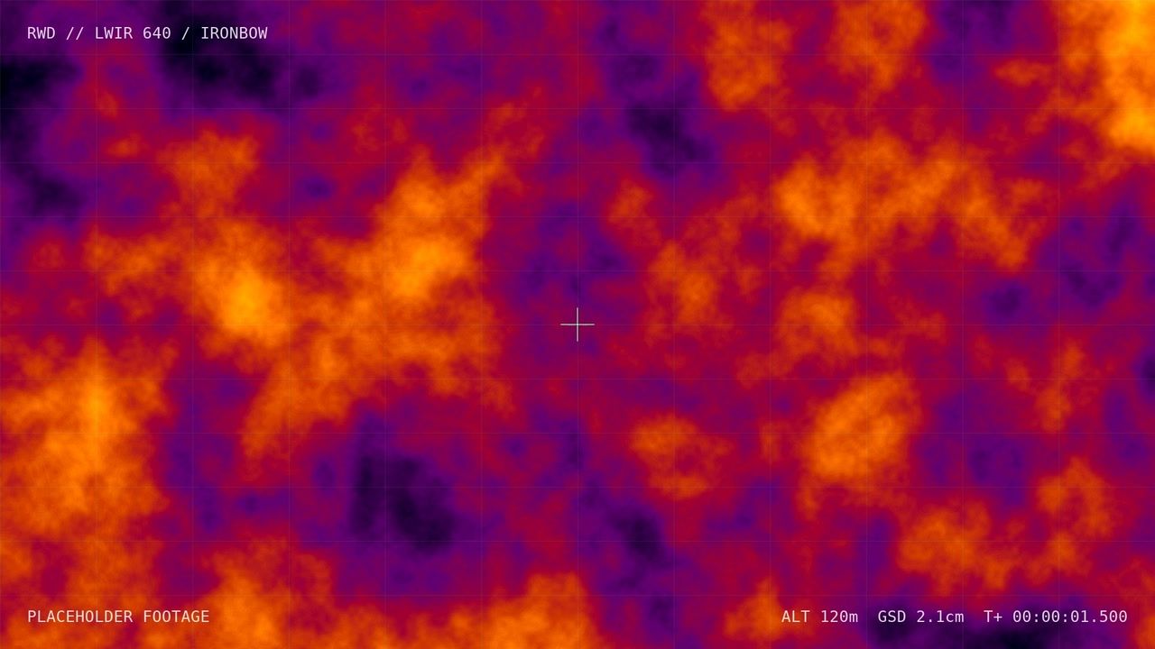
Processing runs on our own pipelines: photogrammetry in GDA2020/MGA, radiometric calibration and AI models tuned to your assets. Delivery is in the formats your team already uses: GIS layers, CAD, PDF reports or an API.
- CASA ReOC holder, with pilots experienced on mine sites and solar farms
- Calibrated sensors with traceable processing for every dataset
- Data hosted onshore in Australia
Recent work
All case studies
Start a project
Tell us what you need to see from above.
Send a site, a question, or a dataset. We'll come back with a flight plan, sensor recommendation and a fixed quote.
Get a quote