AI
AI Data Processing
Bring your own imagery. We detect, classify, count and measure, turning raw captures into structured, queryable data.
Captured data is only valuable once it answers a question. We process imagery from our own flights or yours.
Models we run
- Detection & counting. Trees, vehicles, livestock, panels, poles and defects.
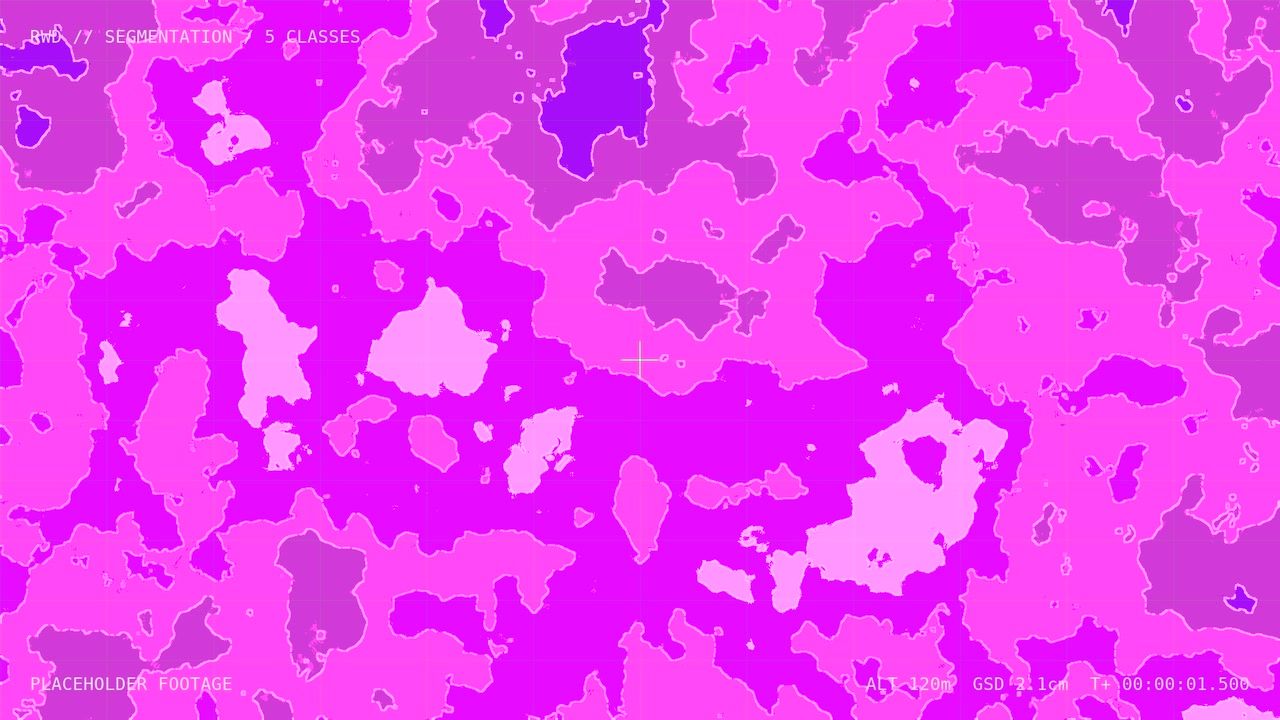
- Segmentation. Land cover, vegetation and impervious surfaces, at pixel level.
- Change detection. What moved, grew, eroded or was built between two captures.
Models are fine-tuned for each project, and accuracy is reported against a hand-labelled validation set.